Litani Living Watershed
GIS-Based Watershed Intelligence & Regenerative Planning
Litani River Basin, Lebanon | 2026 | In Development
Project Overview
Litani Living Watershed is an ongoing environmental-design study exploring how watershed engineering, geospatial analysis, ecological restoration, and computational visualization can operate within a common decision-making framework.
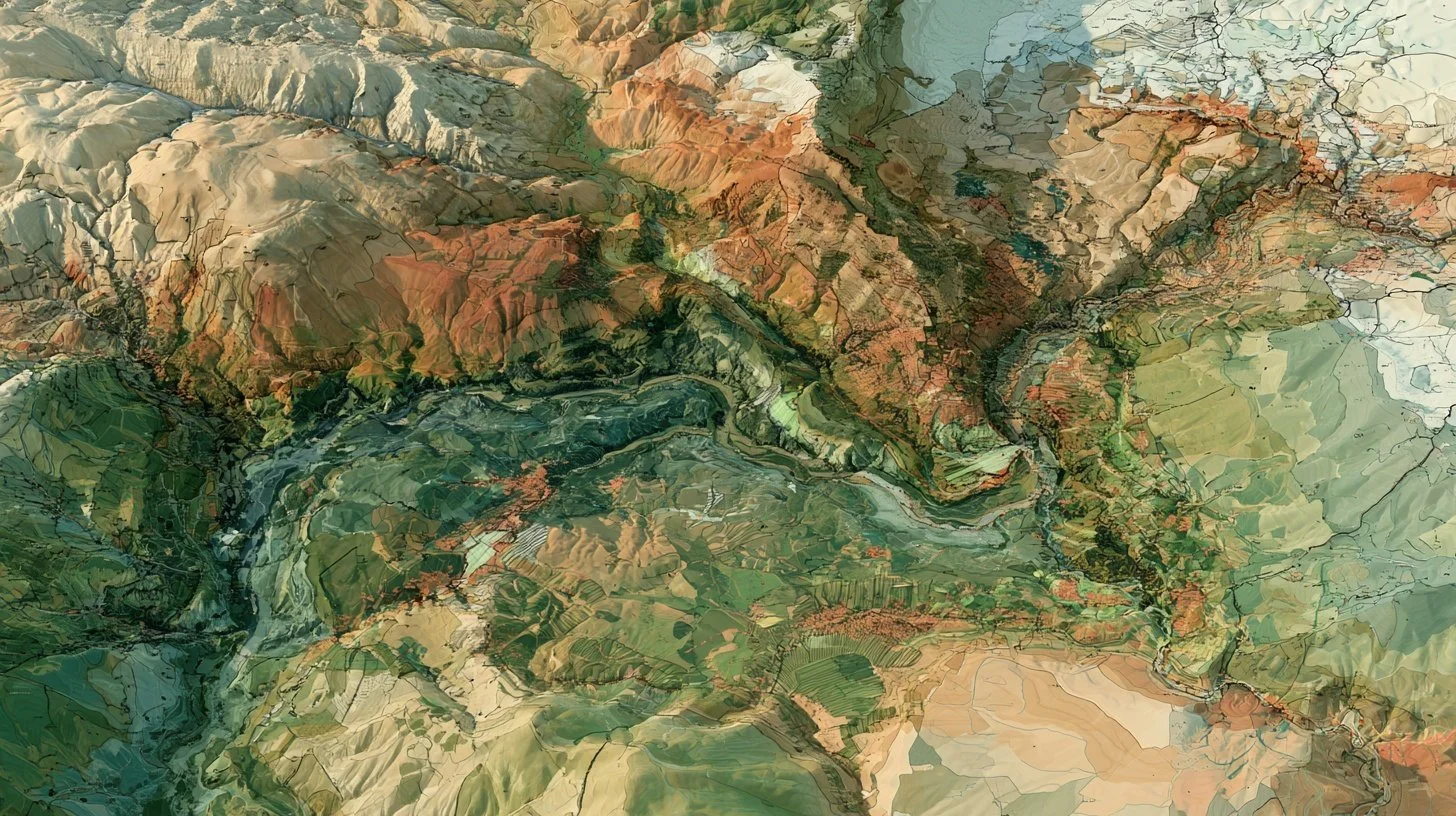
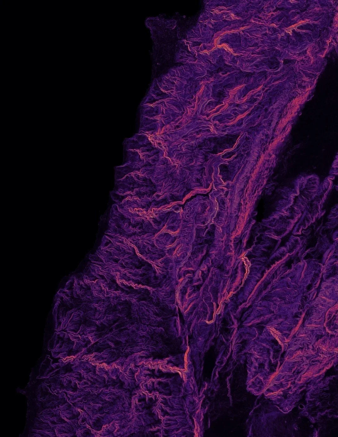
Rather than approaching the Litani as a collection of isolated environmental problems, the project begins with the watershed as a living system. Terrain, hydrology, soils, vegetation, agricultural land use, settlement patterns, infrastructure, water-quality information, and ecological conditions are assembled within a layered GIS environment to reveal relationships that become difficult to perceive when each dataset is considered independently.
The emerging workflow uses ArcGIS Pro, ArcGIS Online, and Python/ArcPy to organize spatial information and develop repeatable analytical processes for watershed and subwatershed delineation, terrain analysis, hydrologic flow, environmental constraints, restoration suitability, and monitoring priorities.
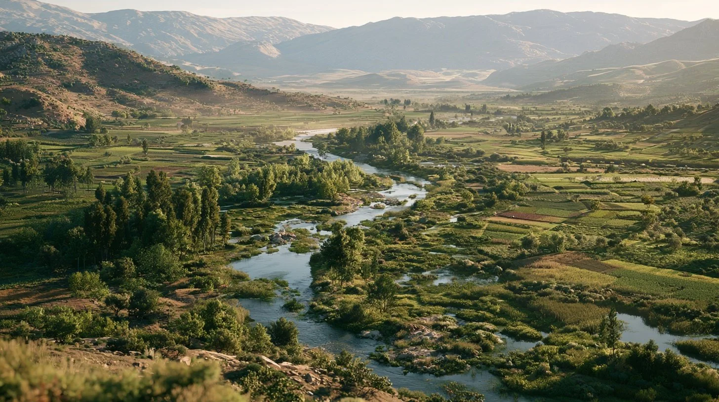
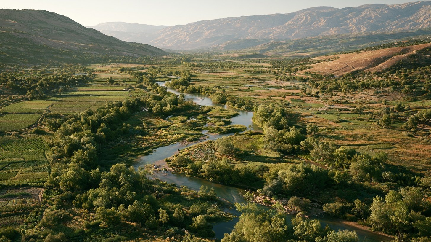
From this environmental baseline, the project explores where interventions may create overlapping benefits: restored riparian corridors, erosion reduction, increased landscape water retention, agricultural resilience, habitat connectivity, distributed environmental monitoring, and improved relationships between communities and the river system.
The objective is not simply to produce a watershed map. It is to develop a living environmental intelligence framework through which ecological conditions can be measured, alternative interventions compared, and restoration strategies progressively refined.
From GIS to Digital Landscape
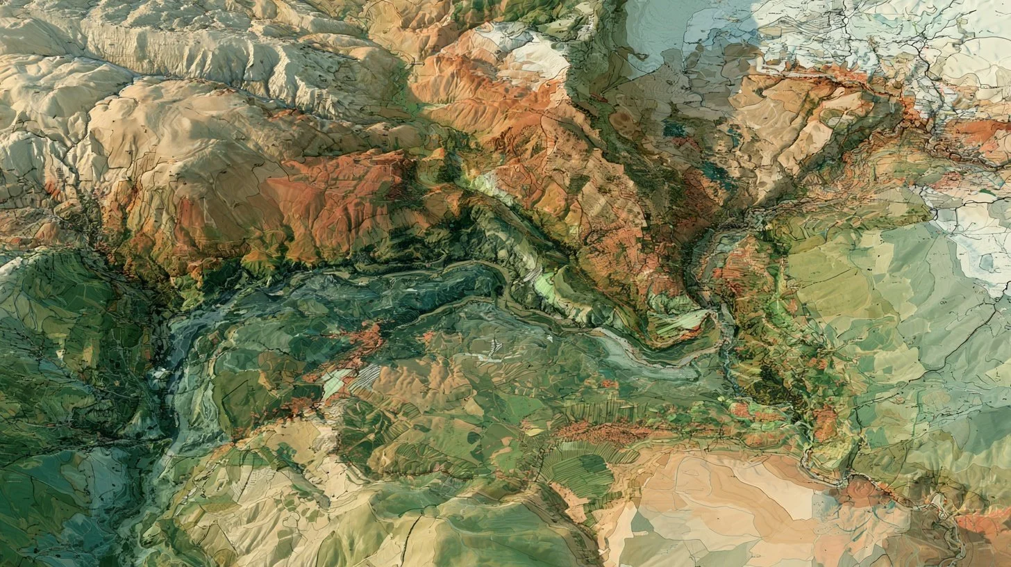
A second phase of the study translates selected GIS environments into three-dimensional spatial models.
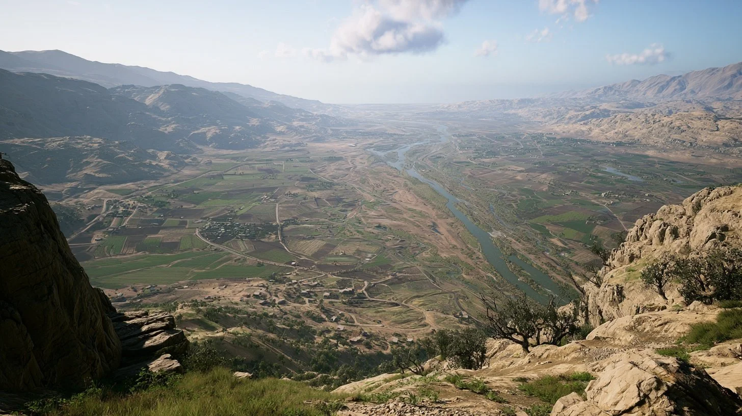
GIS-derived terrain and environmental information informs site-scale explorations using SketchUp, with Twinmotion and Lumion supporting landscape and environmental visualization. Unreal Engine is being explored as an interactive digital-twin environment through which watershed conditions, restoration scenarios, and future environmental monitoring data could ultimately be experienced spatially.
The result is conceived as an evolving workflow:
Environmental Data → GIS Analysis → Restoration Priorities → Spatial Design → Scenario Visualization → Environmental Monitoring → Adaptive Management
Current Development
The project is currently in computational-design development, with the GIS data architecture, analytical workflow, environmental-performance framework, and representative intervention areas being refined.
The intention is to demonstrate how watershed-scale environmental engineering can evolve from static analysis into an iterative system connecting data, ecology, design, visualization, and stewardship.